VECTOR DATA DIGITIZATION
VECTOR DATA DIGITIZATION
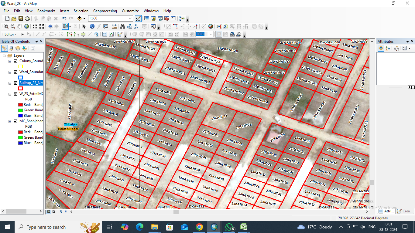
Vector data digitization is the process of converting geographic data from maps or images into digital vector data. Vector data is a type of spatial data in geographic information systems (GIS) that represents the world using points, lines, and polygons.