

THE COMPANY
GIS Solutions & Technology Pvt. Ltd.
GIS Solutions and Technology Private Limited (GISST Pvt. Ltd.), a Company registered under Companies Act, 2013, having CIN NO. U72900UP2021PTC155269 and PAN No. AAJCG4020A, and having Operational office at National Capital region (NCR) India, and which has been merged with our parent company GIS Solutions and Technology, Proprietorship Firm and it was started in 2015 and having an ISO 9001:2015 and CMMI Level 3 certified and now all the business of this Proprietorship firm has been shifted to the Company Our Competencies in Multiple niches in the area of Development of software,Geographical Information System (GIS), GIS based Surveys, Population Surveys, Remote Sensing, Any Type of Construction and Facility Management. Our Team of Professionals had established reputation for ourselves in the country.
READ MORE
GISST Pvt. Ltd. have 25 employees in the management and office team, 15 employees in IT Team & More than 50 employees for the field work. GISST Pvt. Ltd maintains a clear focus on its core work principles of trust, techniques and technologies whereas GIS Solutions and Technology has around 90 employees.
Our Professionals have worked extensively with the Private Institution / Firms and Government and done Prestigious Govt. Project of a Quality that has never failed to please our clients.
OUR MISSION
GISST Pvt. Ltd. aim to be a leading research and consultancy outfit by adopting strategies in consonance with the above belief. We plan to realize this goal by striving for excellence in everything.
We do build partnership with our client and provide research and information that is accurate through GIS based Surveys, timely and actionable for improved performance.
We strive to become a global a global software development company and also in the field of GIS (Geographical Information System) Remote Sensing & Data Management.
We are Passionate in helping business through innovative technologies to reach and maximum their business dreams.
We are the leading construction company contributing to nation building whilst creating a sustainable future for all stakeholders.
OUR IT SERVICES
WEB DEVELOPEMENT

MOBILE APPLICATION DEVELOPEMENT

ERP DEVELOPEMENT

REPORT DEVELOPEMENT

MIS
OUR VISION
We are always looking for future-oriented solutions based on technology on that has already proven its reliability. we focus on effective customer satisfaction measurement and the resulting quality care and continuous improvement of business processes. Thanks to this continuous attention to quality, GIS Pvt. Ltd. has evolved into a customer-oriented, effective and efficient organization.
As you probably know, the IT landscape evolves quickly because of its innovative nature. GIS Pvt. Ltd. therefore attaches great importance to further training and continuing education of staff members through training courses.


26
Offices Worldwide

10000
Satisfied Employees

126
Refineries & Operations
35
Awards & Recognitions
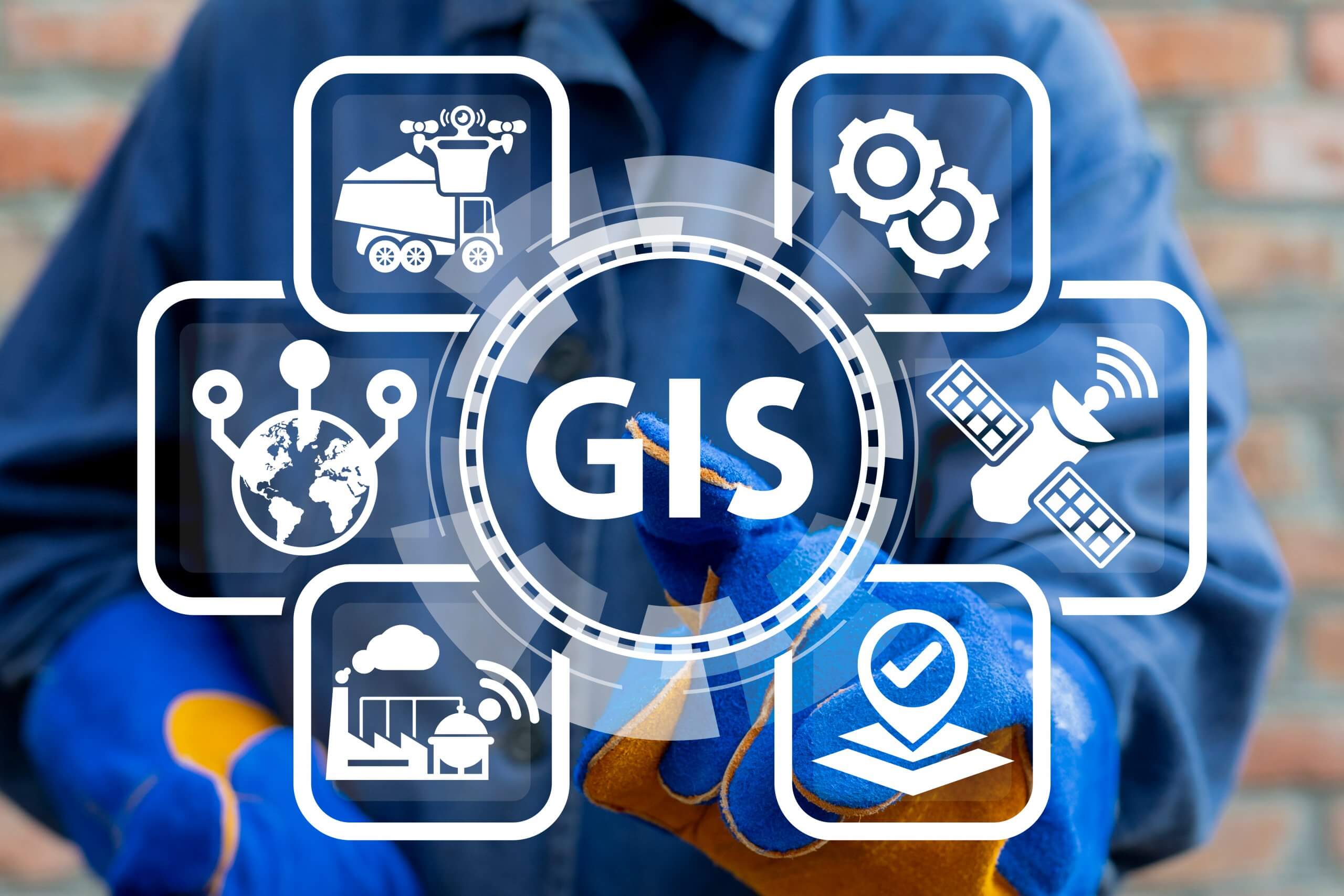
OUR GIS SERVICES
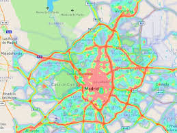
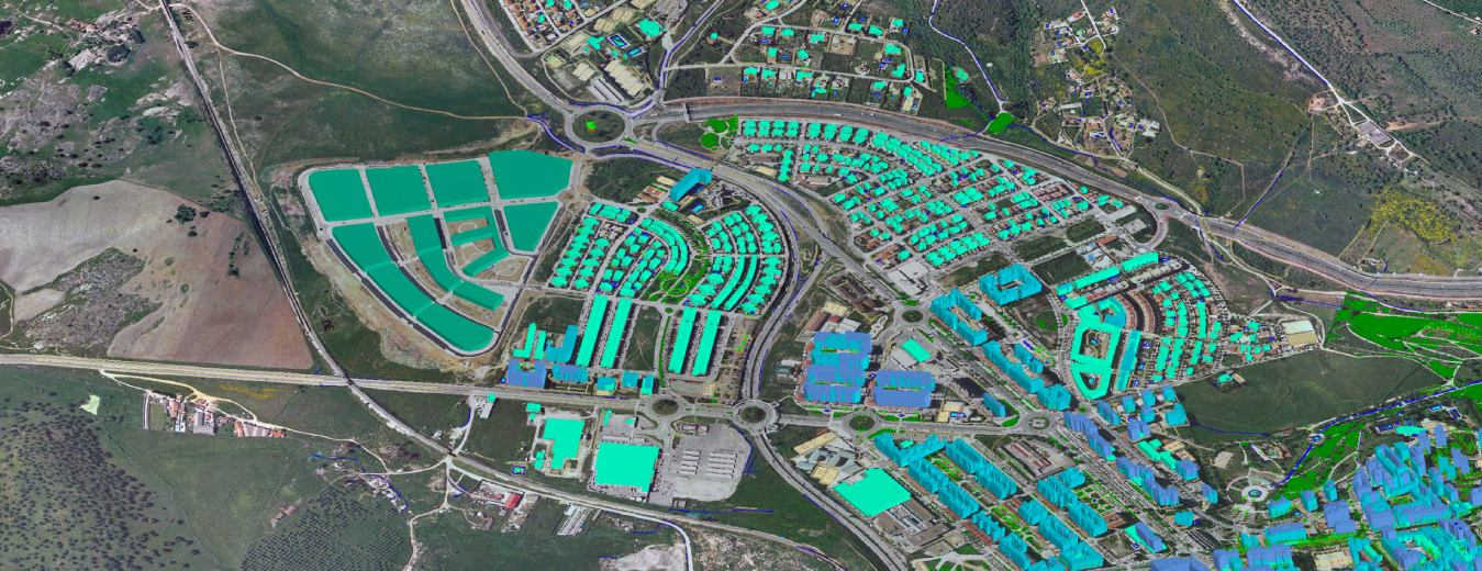
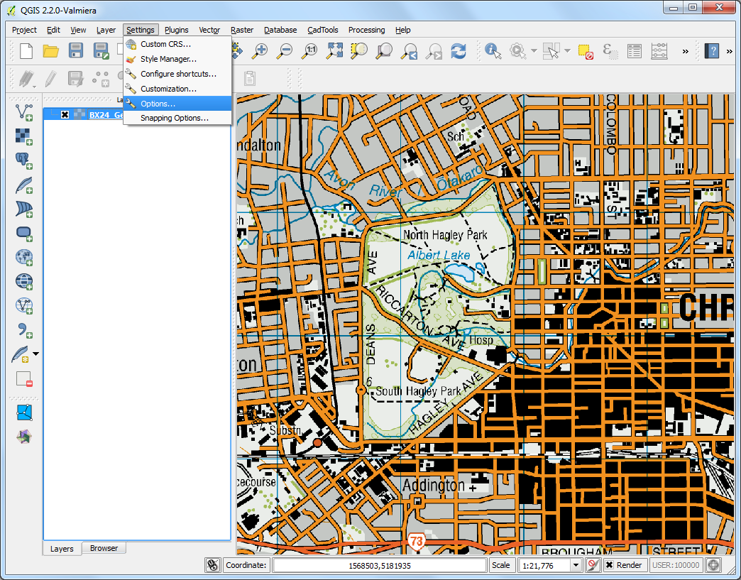
GIS MAPPING
This provides a foundation for mapping and analysis that is used in science and almost every industry. GIS helps users understand patterns, relationships, and geographic context.

IMAGE PROCESSING
Image processing involves performing operations on an image to make it better or to get important information from it. It's like fixing or improving a picture, and it's a bit like working with signals.
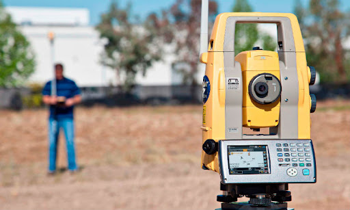
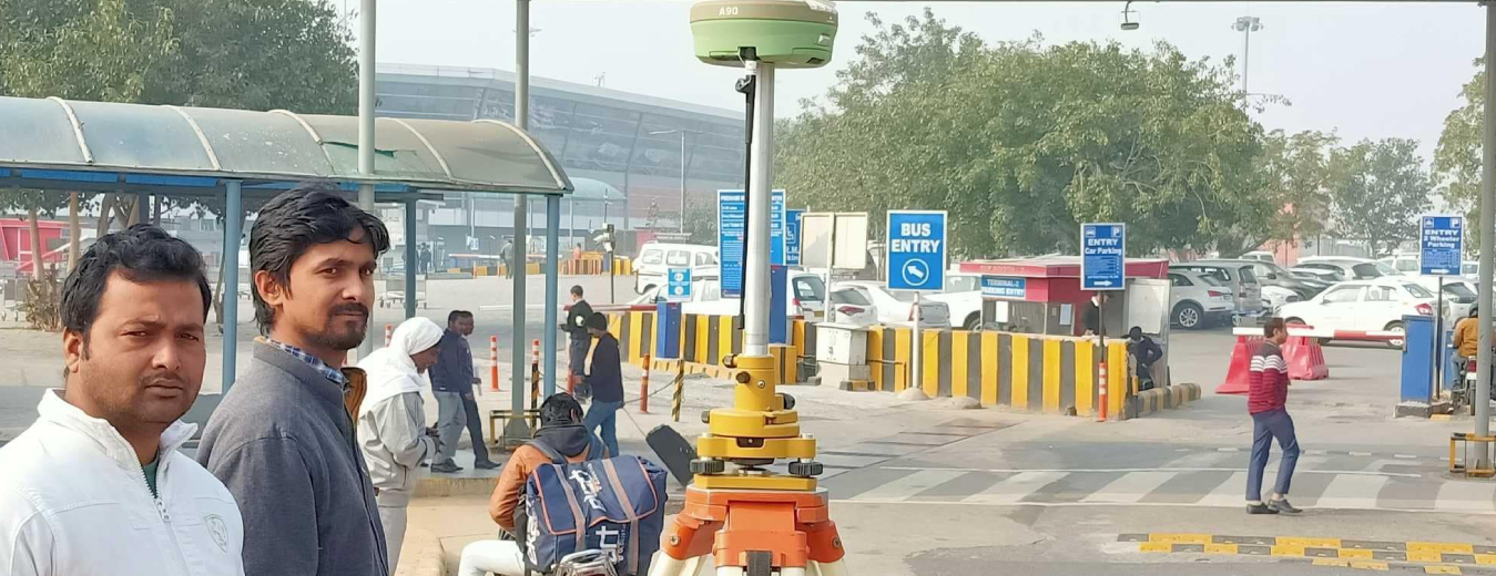
DGPS/TS SURVEY
DGPS uses fixed ground stations that broadcast the difference between measured and actual satellite positions to correct GPS receivers in the area. It improves integrity by identifying errors.
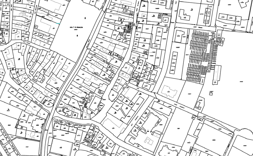
CADASTRAL MAPPING
Cadastral maps are detailed representations of land parcels that provide comprehensive insights into property boundaries, land ownership details, and the physical characteristics of a specific area.
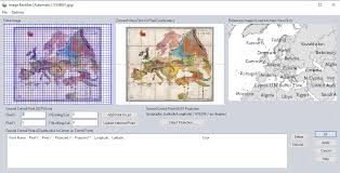
IMAGE RECTIFICATION
Image rectification is a transformation process used to project images onto a common image plane. This process has several degrees of freedom and there are many strategies for transforming images to the common plane.
VECTOR DATA DIGITIZATION
Vector data digitization is the process of converting geographic data from maps or images into digital form, typically as vector data. Vector data is a type of spatial data that uses points, lines, and polygons to represent the world.
DON’T TAKE OUR WORD
CLIENT TESTIMONIALS
GIS technologies provide an environment where tabular data may be integrated with geographic data thus providing spatial visualization of the information.
Rishabh Gupta
The increasing number of heritage tourists and their enlarged expectations also require new solutions and more money spent on infrastructural investments.
Rajkumar
Facilities management Facilities management of an urban set-up calls for analysing existing urban features and their integration with collateral information for efficient planning.
Deepak Sharma
OUR CLIENTS